
Tower Sites for Sale

| Site: | Lower Deer #3 |
| Latitude: | 43° 44’ 15.81” N |
| Longitude: | 116° 07’ 19.09” W |
| Elevation: | 6098 Feet |
| AGL – Above Ground Level (Tower Height): | 110 Feet |
| Location: | 9.4 Miles NE of Boise, ID |
| County: | Boise |
| Type: | Guyed |
| Coverage: | Ada, Canyon, and most of Gem County |
| ASR: | N/A |


| Site: | Albany East |
| Latitude: | 44° 37’ 47.9” N |
| Longitude: | 122° 57’ 8.1” W |
| Elevation: | 268 Feet |
| AGL – Above Ground Level (Tower Height): | 125 Feet |
| Location: | 35887 Knox Butte Rd E, Albany, OR 97322 |
| County: | Linn |
| Type: | Monopole |
| Coverage: | I-5 Exit 219 through 244 Exit, Lebanon, Tangent, Albany, and Scio |
| ASR: | 1271391 |

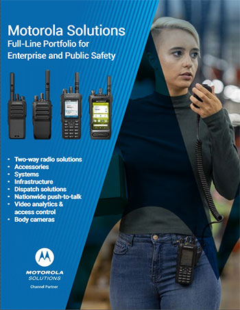
Our brochure


© Day Wireless Systems.
Motorola Two Way Radio Dealer Oregon, ORshington, California, Idaho, Wyoming, Utah.
DWS Contractors License: OR: CCB # 64950; CA: CSLB # 984020; WA: L&I # DAYWIS*934K1; MT: CR # 162474; ID: RCE # 45759
MOTOROLA, MOTO, MOTOROLA SOLUTIONS and the Stylized M Logo are trademarks or registered trademarks of Motorola Trademark Holdings, LLC
and are used under license. All other trademarks are the property of their respective owners. © Motorola Solutions, Inc. All rights reserved.