Tower Sites for Sale
There are no tower sites for sale at this time.
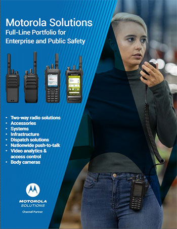
Our brochure


© Day Wireless Systems.
Motorola Two Way Radio Dealer Oregon, Washington, California, Idaho, Wyoming, Utah, Netherlands, Ireland
DWS Contractors License: OR: CCB # 64950; CA: CSLB # 984020; WA: L&I # DAYWIS*934K1; MT: CR # 162474; ID: RCE # 45759
MOTOROLA, MOTO, MOTOROLA SOLUTIONS and the Stylized M Logo are trademarks or registered trademarks of Motorola Trademark Holdings, LLC
and are used under license. All other trademarks are the property of their respective owners. © Motorola Solutions, Inc. All rights reserved.
Privacy Policy | Terms of Service | Disclaimer | Cookie Policy